Dallas Weather Storms move east more come
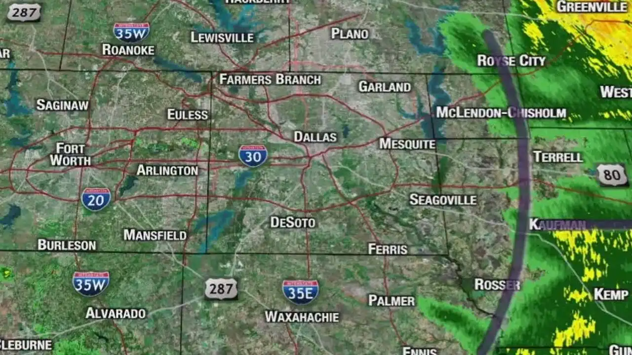
North Texas storm complex moving east with isolated showers. Warm and muggy with possible storms late Thursday. Weekend forecast uncertain.
A powerful storm system swept through North Texas early Thursday morning, bringing heavy pockets of rain. As it moves eastward, the remainder of the day is expected to be relatively calm with the possibility of isolated showers.
The warm and humid air will persist, with temperatures reaching near 80 degrees.
Later in the day on Thursday, a dry line approaching from the west and a cold front moving in from the north could trigger additional storms.
The dry line is expected to arrive around 5-6 p.m., potentially causing storms with hail and strong winds in areas west of Fort Worth. Subsequently, the cold front could become active, leading to a complex of storms later in the evening and overnight. This could bring strong winds and heavy rain, with a coverage of at least 50%.
On Friday, the front is anticipated to stall just south of the Metroplex, resulting in a mostly cloudy day with a chance of a few showers.
As the front retreats at night, more showers and storms may develop due to another disturbance.
Saturday could see more showers and storms, particularly in the afternoon and evening. A stronger disturbance overnight may increase coverage and pose a risk of flooding.
The weekend forecast may require adjustments as it approaches, with Sunday likely to see lingering showers due to the nearby stalled front.
Heading into the following week, the front is expected to move back north, leading to windy and warm conditions. While a storm or two may be possible as the dry line approaches on Monday afternoon, the likelihood of significant storms appears low.
Temperatures are expected to rise to near 90 degrees on Tuesday and Wednesday before another front arrives later in the week, bringing a temporary relief from the heat.


Comments on Dallas Weather Storms move east more come